

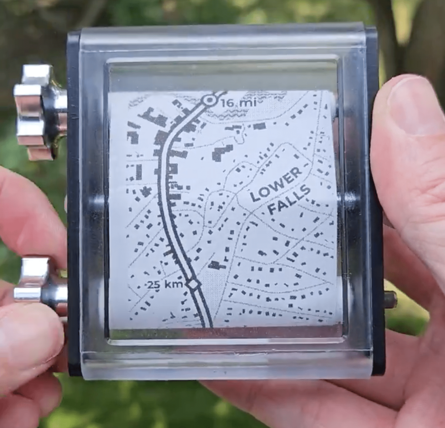
He explains his process in a blog post here :
https://aaronkoelker.com/wakulla-receipt-map/
Also shown in video here :
https://nitter.poast.org/AaronKoelker/status/1812987942987513863
He explains his process in a blog post here :
https://aaronkoelker.com/wakulla-receipt-map/
Also shown in video here :
https://nitter.poast.org/AaronKoelker/status/1812987942987513863
I hope the plan is traveling in a relatively straight line.
Just distort the map so it fits
(/s)
Why “/s”? He literally did that. If you’re using it to sail across the river, it does not matter what its overall shape is - you can’t get lost anyway but it will help to know about amenities ashore.
Surprisingly many printers with manual feed options support meter-long sizes or more so it’s feasible to print it cheaply in color too (using receipt paper for the rarer dot-matrix printers).
Or just rotate it to direction of travel if it’s for a route. After a turn is shown it would switch to forward is up.
Well, in this case it was a curvy but predictable line, namely a river.
As an Egyptian, I think this would be a great map format for our country.
Though the delta would pose an issue, the nile also goes diagonal in the south, so it’d have to switch from north-up in the north to nortwest-up in the south which would probably be jarring