
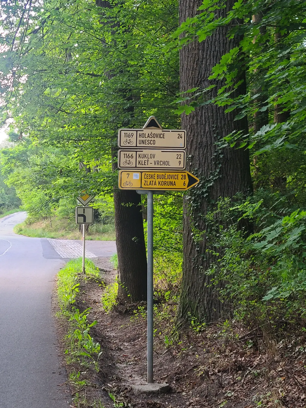
This is how it looks in 99% of Czech Republic.
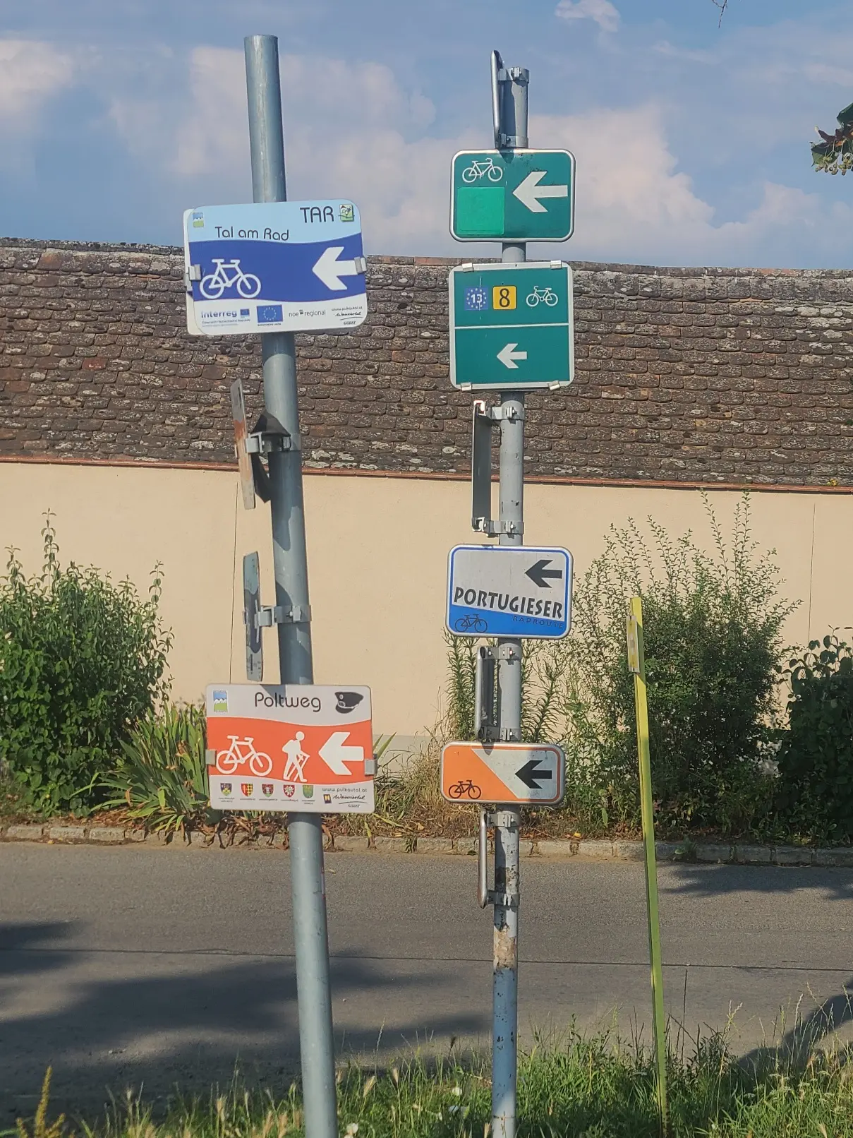
It changes to terrain signs painted on trees sometimes but it is also standard. I found 2 other signs for cyclists, some cross border route that decided to make their own on both sides. And still most cross border routes use cz standard signage.
So how it looks where you live? Am I just too spoiled by standards for hiking and cycling signage?
In the Netherlands we have this: https://en.wikipedia.org/wiki/Numbered-node_cycle_network
That works super well cause you can just follow the numbers. You can have those on a piece of paper if you need, or memorize the intersections where you need do something else besides following the next numbered node (so for example you go 25-26-27-28-51). You can just remember to keep following the next one until you need to go to 51.
Normal street signs look like this: Verkeersborden in Nederland https://nl.wikipedia.org/wiki/File%3ANederlands_verkeersbord_K7.svg
The color scheme indicates it’s for cyclists. For motorized vehicles they’re blue with white letters. In cities there are also signs for pedestrians which are black with white letters.
And there are also these for cyclists, in rural areas: https://en.wikipedia.org/wiki/Padstool_(signage)
Came to the comments for this. The Dutch cycle node network is super simple and easy to use, it seems like a masterclass in clear signage and simple usage. Does anyone know of another system that tries to achieve the same?
Yeah the Czech system is pretty close:
https://kct.cz/system-turistickeho-znaceni
Hmm here it has a system too, smaller the number, longer the route.
The lowest sign was replaced recently, it is route along the Vltava River. Used to be 12 and is changed to correspond with EV numbering scheme - 7 sun route.
The 4 digits are connection routes, 3 digits are usually regional and 1-2 digits are long routes.
If you look at OSM with bicycle paths overlay and zoom out, you will see that there is a lot of routes (cz gets blue or other color you have setted for bikepaths).