
You must log in or register to comment.
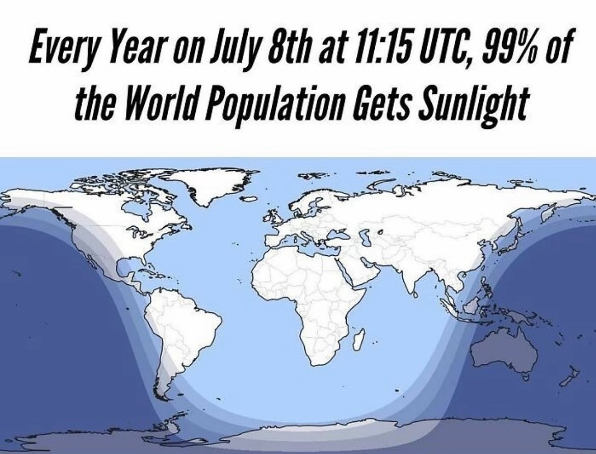
Remember that it is always half of Earth that gets sunlight. This illustrates how much of the Pacific is missing in this projection.
There isn’t any of the Pacific missing in this projection…you can see right where it starts at the Bering Strait and ends in the exact same place. If this map were centered on the Pacific it would probably seem larger, but there’s none missing.
during a solar eclipse less than half of the Earth is lit
But on 4/20 more than half of the Earth is lit so it balances out